Adventure Guides
Hiking and More at Chickamauga Battlefield

If you’re looking for a place to enjoy the outdoors relatively close to home, Chickamauga Battlefield, located in North Georgia and about 10 miles south of downtown Chattanooga, may be a good option for a quiet and fairly easy hike, as well as other forms of outdoor recreation.
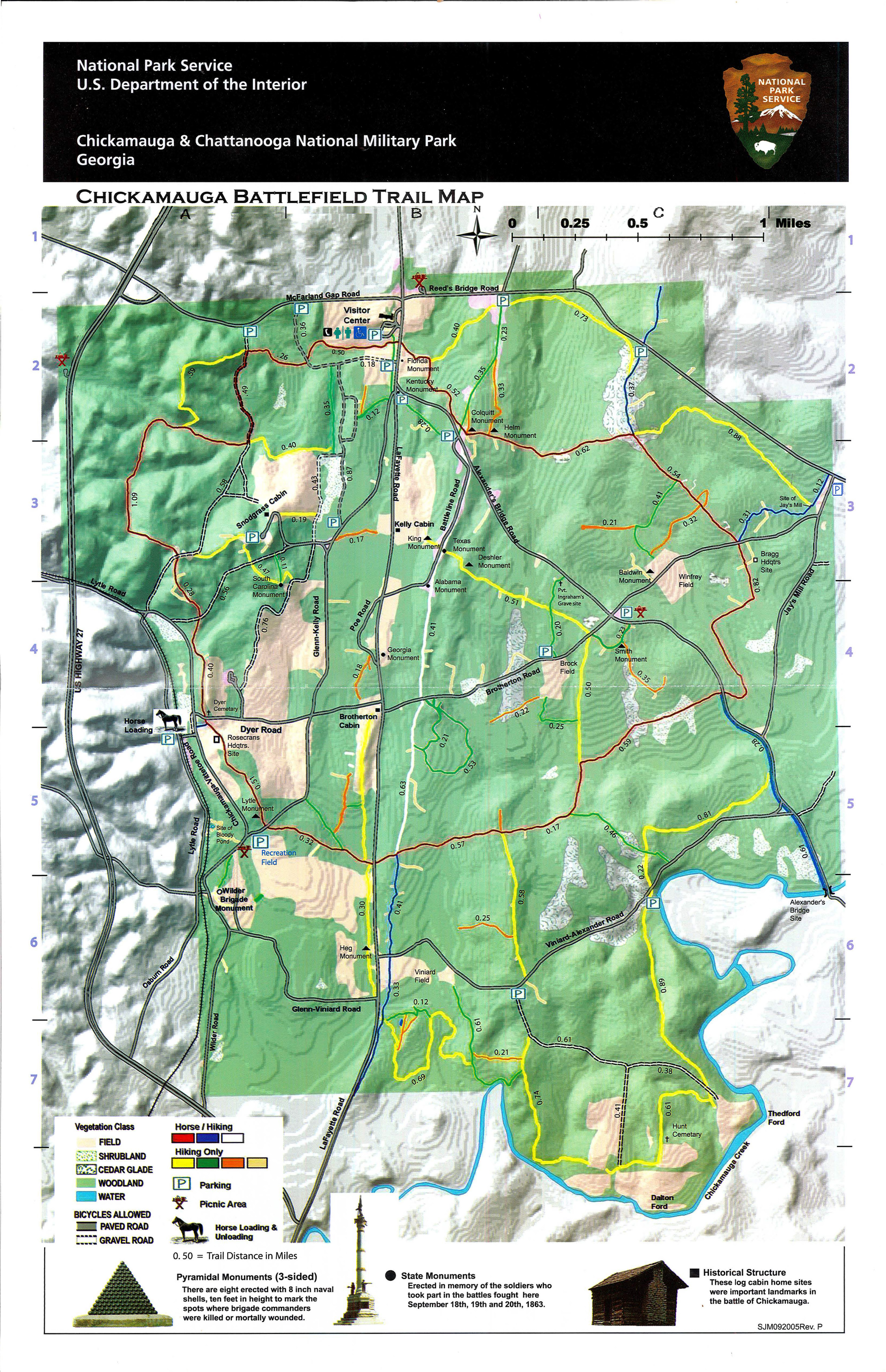
The largest unit of Chickamauga and Chattanooga National Military Park, Chickamauga Battlefield lies on relatively flat terrain and contains over 50 miles of trail. Some are designated for hiking only, while others are open to both foot and horse traffic.
A Brief History
Chickamauga Battlefield preserves the location where in September of 1863, Union and Confederate armies fought for control of Chattanooga. Although shortly afterward, Union forces won control of Chattanooga, the Confederate army was victorious at Chickamauga. Thousands of both Union and Confederate veterans came together at Chickamauga Battlefield in 1889. From this gathering came the idea to create a national park on the site. The battlefield was designated as the nation’s first official military park in 1890. In its early days, the park was managed by the War Department and was used as a training facility in the Spanish American War, World War I, and World War II. Management of the park was transferred to the National Park Service in 1933.
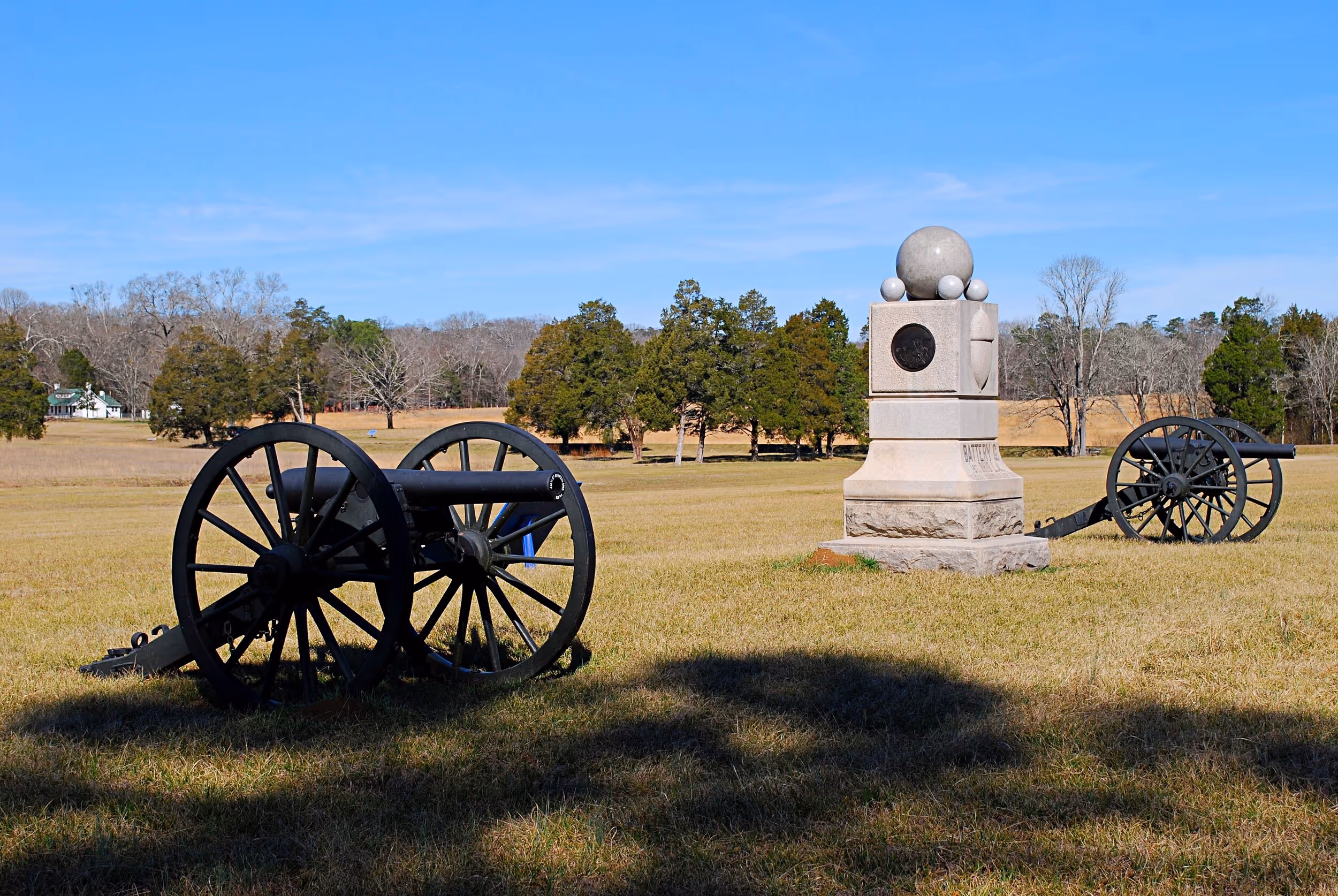
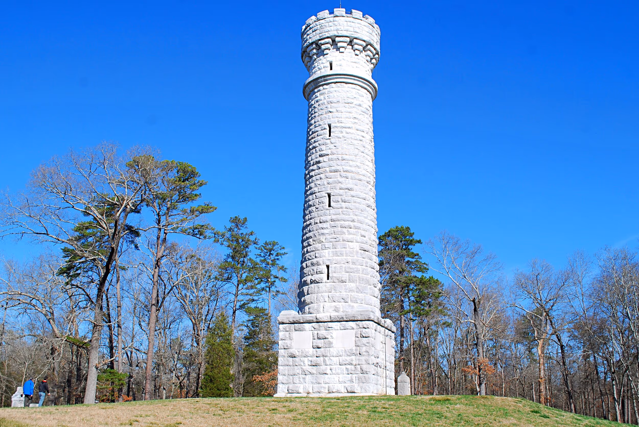
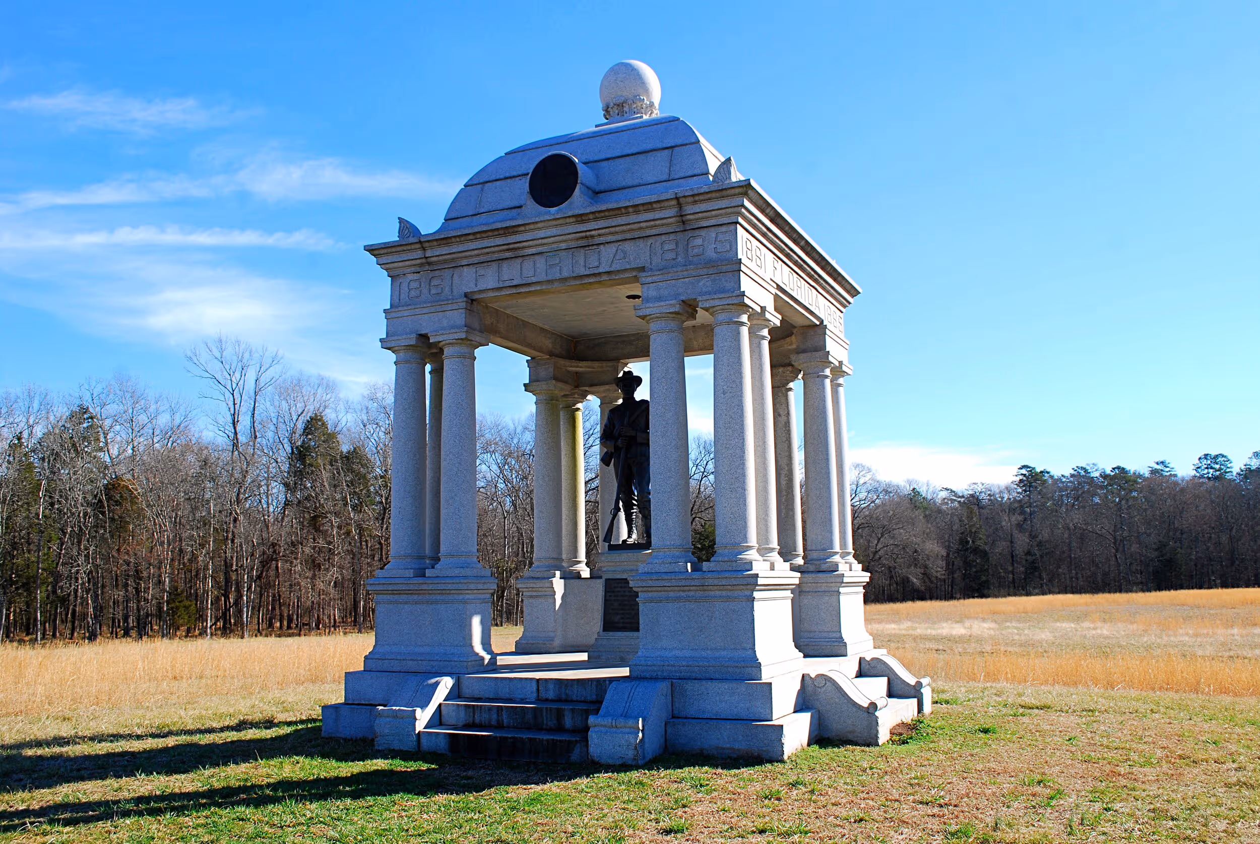
Over a thousand monuments, markers, and tablets are scattered throughout the park and provide information about the events which took place here. Many of theses are located along trails which wind through wooded areas. According to Mary Barnett, of National Park Partners, “The park's cultural resource staff's historic landscape preservation efforts can also be appreciated from some of these same sites.”
Outdoor Recreation in the Park
In addition to hiking and running, there are a number of other outdoor recreational opportunities at Chickamauga Battlefield.
The park’s relatively level terrain makes it a popular destination for bicycling, which is allowed on all paved roads in the park, as well as on several gravel roads. Bikes are not allowed on hiking or horse trails.
Several trails, including a 7.6-mile loop, are designated for horseback riding. Hikers are also allowed on these trails. Horses may be unloaded and trailers parked at one location on Lytle Road in the west side of the park.
West Chickamauga Creek forms the southeastern boundary of the park and can be paddled by canoe or kayak, although there are no public put-ins or take-outs within the park. There are public access points upstream at Lee & Gordon’s Mills and downstream in Fort Oglethorpe.
Chickamauga Battlefield contains four picnic areas, which are marked on the park map.
The Recreation Field is available for other recreation activities such as kite flying, frisbee tossing, playing catch, etc.
“Several times a year, National Park Partners sponsors ranger-led bike rides through the Battlefield using our donor funds to cover the costs of bike rentals with Outdoor Chattanooga so they are free to the public,” states NPP’s Barnett. “ Anyone with their own equipment are welcome to bike the battlefield any time the park is open.”
Trails in the park don’t have names but are color-coded, both with trail blazes and on the trail map. For a good map, click here or request a paper copy at the visitor center.
While the Battlefield is a great place for outdoor recreation, the Park Service requests that visitors remember “that this is a place where thousands of people were killed, wounded, or forced from their homes.”
Recommended Hike
Hiking is one of the primary recreational uses of the park, with numerous trails providing a wide variety of hike options. A moderate-length hike of about 3.8 miles, and a good one for experiencing nature, is in the park’s southern end.
Driving south from the park’s visitor center for about 2.5 miles on LaFayette Road, turn left onto Viniard-Alexander Road. Then, in about 0.6 miles, you’ll come to a gravel parking area and a gate on the right. Behind the gate, hike out a gravel road for about a quarter-mile, then turn right on a yellow-marked hiking trail. In a little over a tenth of a mile, turn right again onto a narrower orange trail, which intersects with a green trail in about 0.2 miles. Here, turn left and in a short distance, turn right onto another yellow trail.
This trail passes a concrete foundation wall for a rather large structure which has obviously been there for many years. This was once a water treatment facility, possibly going back as far as when the park was used for training during the Spanish-American War of 1898. A short distance past the ruins, you’ll come to a footbridge over a stream with a beaver dam right next to the bridge. At this point, the trail may basically become impassable due to beaver activity. But you may still wish to hike as far as the bridge and turn around.
Arriving back at the green trail, turn right and follow it for about 0.3 miles. This section partly follows alongside West Chickamauga Creek before it rejoins the original yellow trail. Here, turn right and follow the yellow trail for about 0.6 miles, with another view of West Chickamauga Creek and skirting a large hay field, before coming to the end of a gravel road. You can shave about 0.6 miles off the hike by taking this road back to the trailhead in just over a mile. Or, you may continue following the yellow trail for another 0.6 miles.
After skirting the edge of another hay field, the trail passes Hunt Cemetery, where Helm Hunt, who received 280 acres of land here for his service in the War of 1812, is buried along with several members of his family.
Eventually, the trail arrives at the end of another gravel road. Following it for about a mile of easy hiking brings you back to the parking area.
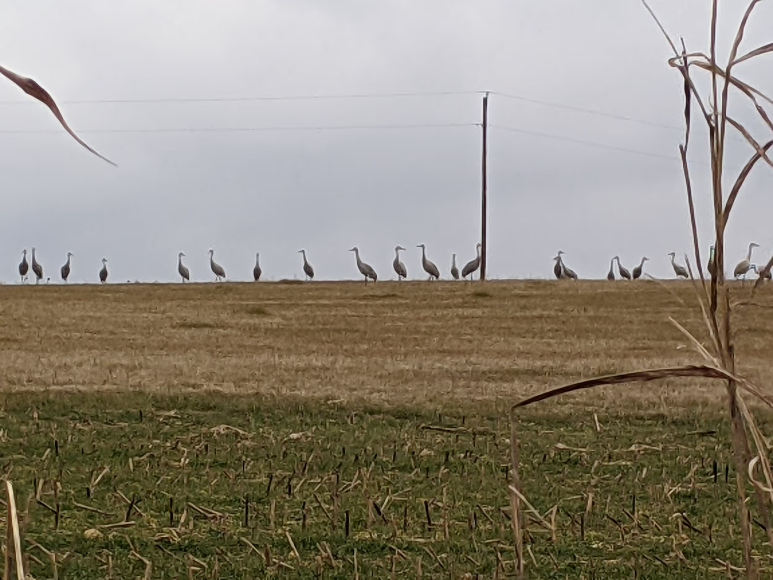
Much of this area of the park has limestone at or near the surface, along with the resultant groves of limestone-loving cedar trees. Pines can found in areas where limestone is less prevalent. You’ll likely see deer tracks as well as a variety of birds and other wildlife.
This hike is unlikely to be crowded, and with the exception of the beaver flooded section, the trails tend to be in good condition. But if you’re going to follow a route this complex, having a good trail map with you is highly recommended.
Get directions to the park here.
Learn more about Chickamauga and Chattanooga National Military Park here.
More Like This

Tired of Sitting in Traffic on Chattanooga Interstates?

Scenic Alternate Routes Available to Commuters